Overhead powerline survey and design
From the pole to the drawing, in one application
nPoles surveys an overhead line, builds the model, checks it and documents it: stringing charts, clearances, pole loads, footings, schedules and CAD. Built for the surveyor at the pole and the designer in the office, on the standards of Australia’s distribution companies.
Current release: see the change log.
Four products
nPoles — Field and Desktop
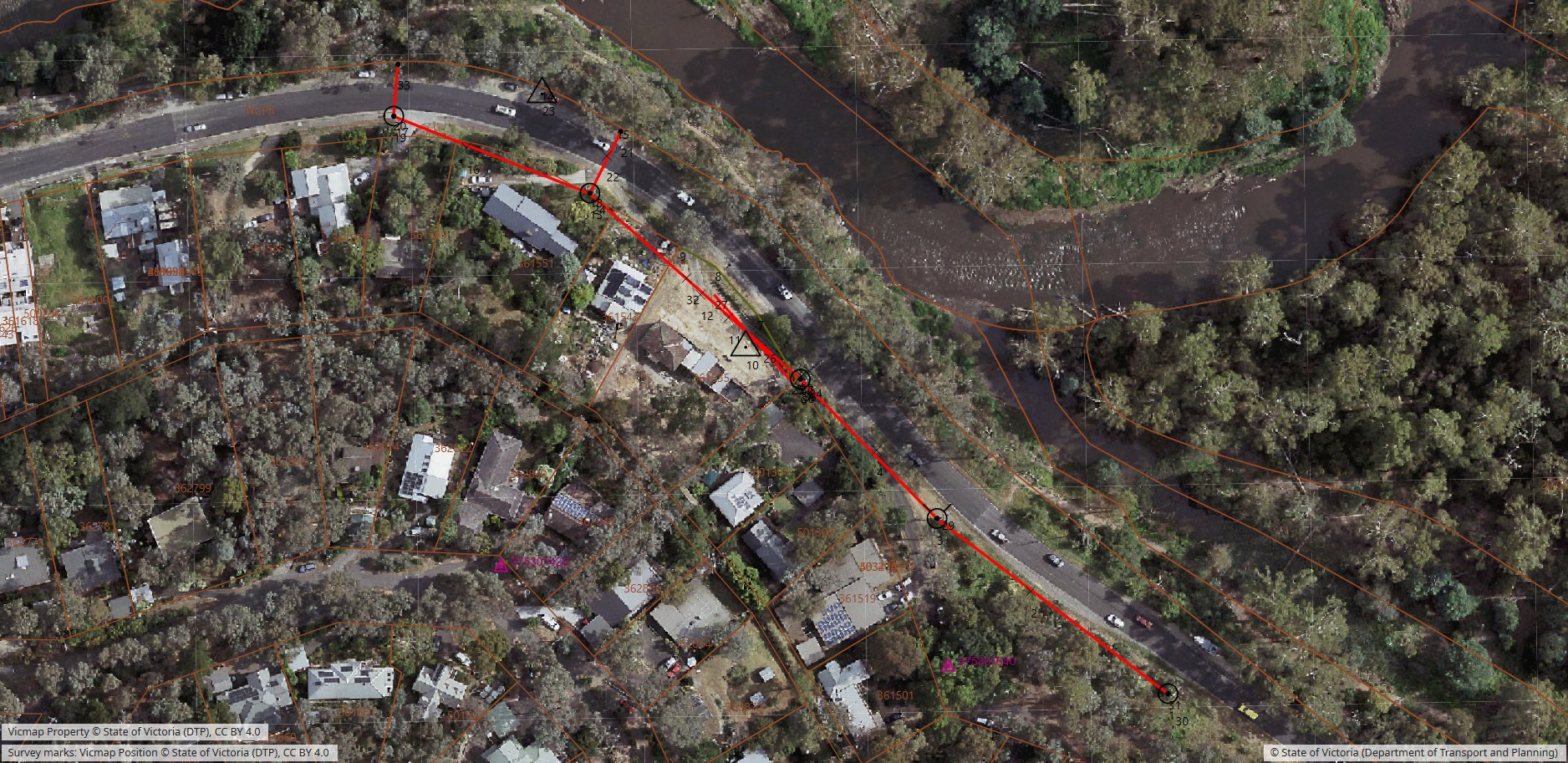
The complete survey and design application for Windows. Total station and GNSS capture at the pole; stringing charts, clearances, pole loads and footing ratings; 3D review, reports and CAD export.
nPoles Field mini
The Android collector in the surveyor’s pocket. Poles, conductors and clearances measured with the surveyor’s own instrument, maps and survey marks offline, and the job handed straight to nPoles. Free for 90 days.
nPoles PPE
Construction plans from the survey. PPE opens the nPoles job and lays out the drawing, with title block, conductor schedule, scale bar and north arrow, for PDF, print and CAD.
nPoles Tiny
The conductor calculators on a phone, for the work that does not need a whole survey job: stringing charts, a single span, the design conditions, what a pole carries during a lift, and what rot has left of a wood pole. Free for 90 days.
Why nPoles
Built for the pole, not only the office
Text-and-forms screens that stay readable on a rugged tablet in full sun, high-contrast controls, large targets, and an on-screen keyboard made for gloved hands.
The distributor’s standards, already loaded
17 company profiles across every Australian state and territory: stringing chart libraries, pole, crossarm and insulator databases, description codes and clearance rules.
One model, every check
Stringing charts, MES, Chart Finder, clearances and pole loads all read the same surveyed points, so a change is checked everywhere at once.
Design Stress and Limit State, side by side
Both methods on one job, the way Australian distribution design is actually done, with the Victorian SECV footing method rated on every pole.
The map under the survey
Aerial imagery, survey marks and property boundaries across Australia, New Zealand and Switzerland; national maps for 17 countries; datums from GDA2020 to Swiss LV95.
The job is safe
Crash-proof saving, Undo with a visible history, point backups with notes, a Job Change Report, and a job rebuilt from its survey log if the file is ever lost.
What’s new
- Name your point strings (1.4.183)
- Total station reads land in every circuit and every box (1.4.183)
- Company data updates keep your edits (1.4.182)
- Draw buildings off the aerial image, and the view stays put (1.4.182)
Since 2003
nPoles grew out of POLES, the survey software of the State Electricity Commission of Victoria, and has been written from the ground up since 2003. Version 1.0 shipped in 2006, and designers and surveyors have used it on distribution lines ever since.

Questions, a demonstration or a quote
A reply comes by email. Or write to evan.sebire@npoles.com.